


|
Climbing
Permit
|
GUIDANCE
FOR CLIMBERS The Route Climbers
initiate traveling from Malang to Mount Semeru through some places
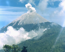
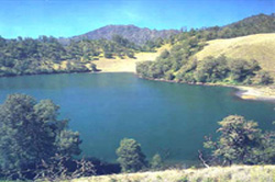
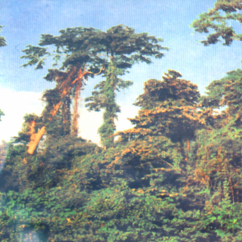
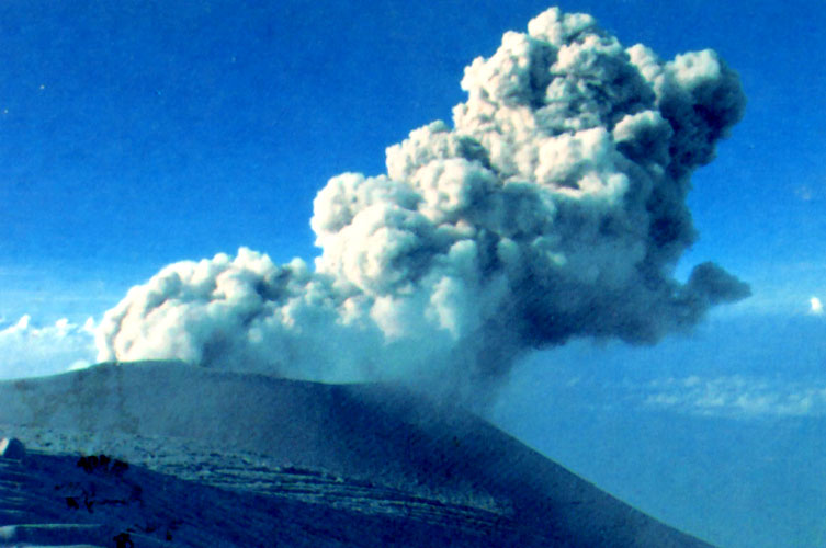
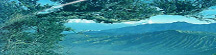
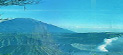
using different public transportation. After spending time of about 90 minutes, climbers can find a stone wall named Watu Rejeng with the height approximately 350 m.a. part of this route is macadam trail. Along the both side of his trail is dominated by brush and casuarina forest In Ranu Kumbolo there is a climber lodging for resting and cooking. Water is abundance and the scenary is beautifuI especially in the morning when sunrise emerging between hilly landscape. The latitude of this place is about 2.400 m above sea level. From Ranu Kumbolo climbers continue traveling to Kalimati ( 2.700 m asl ) through undulating landscape of savana. Sometimes they can find various birds. This route can be travelled about 2-3 hours, with the distance of 4,9 km. In this place climbers can set up tents and if they need water, they should take it from Sumbermani where water is available by travelling a border forest of Kalimati approximately 1-hour round trip. It is advisable that the need of water can be prepared in Ranu Kumbolo. From Kalimati, the climbers can continue walking to reach Arcopodo for about 1 hour. Climbers can also set up tents in Arcopodo however, the soil is unstable. Climbers should depart to the peak of Mount Semeru in early morning at about 2-3 am. It is because they are still fresh, and can use drinking water effective. If climbing is conducted in late morning, walking on the track become difficult because the sand is more unstable when heated and the wind blowing direction tend to north sweeping Mahameru (Semeru), which maybe contains toxid gas from Jongring Saloko. When climbers reach the peak of Mount Semeru (Mahameru), they can observe a crater of "Jonggring Saloko". the unique of this crater is each 10 -15 minutes flowing up volcanic material with initiated by smoke which raise high. The temperature on the peak of Mahameru is very cold approximately 0 - 4 C. It is advisable that climbing activity is conducted in dry season from June to September. Hurriance and avalanche sometimes take place in wet season.
Malang
- Tumpang , 18 km - 45 minutes , public transportation |
|
Copyright
© 2002, |