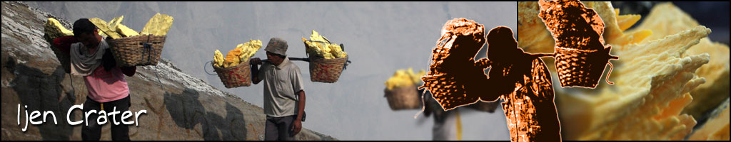


Travel Notes
We were awoken by the cold at about 4 a.m., after a few hours of half sleep. We had come ill prepared, not expecting such a dramatic drop in the temperature, and were suffering the consequences. The drive up on the previous day had taken some 5 hours from Bondowoso and we had arrived in Jampit at around 10 p.m.. From here, a sulphur collector had guided us up to our sleeping quarters in the old vulcanology station, which lay a further hour's climb up the mountain. The silence was magnificent. The only sound heard at these heights was the soughing of the wind in the cemara trees. Audible for several kilometres, the wind could be heard whistling around the rim of the caldera, sometimes taking a full minute to reach us.
As dawn approached we set up cameras overlooking the plateau to the west. Immediately in front of us stood the monstrous crater of Mt Raung, which at 3,332m is the highest peak in the vicinity and among the tallest in Java. Raung is an active and dangerous volcano, which is known to erupt regularly*.Prior to 1838 the crater probably contained a lake, which would have caused extensive flood damage during eruptions. Nowadays, however, the crater floor is dry. From the air, the gaping summit of Raung presents an awesome spectacle, the sheer crater walls plunging half a kilometre into the heart of the mountain.
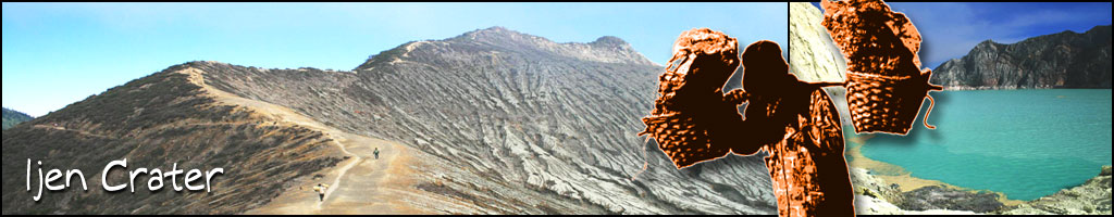
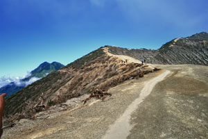
After photographing the changing colours of the early morning sky, from deep purple/blue/gray to golden yellow, we focused on the mountain peaks. Raung, Pendil, Suket and, far to the west, the faint outline of Mt Argopura and the Iyang plateau, lay like so many islands floating on a sea of cloud. As the first rays of the sun lit up the peaks, we set off on the last stage of the journey, a 45 minute climb to the crater rim of ijen.
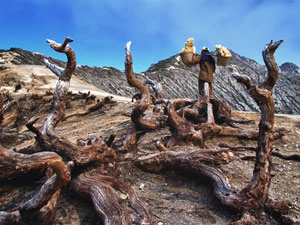
"If you lose your way, just look out for the sulphur trail", someone had advised us the day before. Now the meaning was clear. A continuous flow of two way traffic, carrying the sulphur down the mountainside from the lake and trudging up again to re-load, had left a yellow trail on the well worn path. Work obviously started early, since already at first light the men who had shared our accommodation had left for the lake shore to load up their baskets.
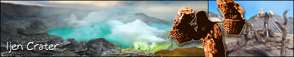
The Ijen crater lies at approximately 2,300 metres above sea level. It forms a twin volcano with the now extinct Mt Merapi. The enormous crater lake, which is 200 metres deep and covers an area of more than half a million square metres, contains about 36 million cubic metres of steaming, acid water. A walk around the lake takes a full day.
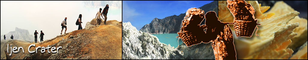
We arrived at the crater rim just as the sun appeared over the summit of Merapi. The sight was breathtaking. From the still, deep blue surface of the lake, heavily fissured white rock walls rose about 200 metres, enclosing the crater. To the north east we could see the distant peak of Mt Baluran. Below, at the lake's edge, was a scene from Dante's inferno. Small figures could be seen labouring amidst billowing clouds of smoke in the sulphur quarry. As we descended towards the mine, the rising sun began to warm the surface of the lake, which soon changed to a sinister milky turquoise colour. Ripples appeared in the water, disturbing the bright yellow, amoeba-like streaks of sulphur, which until that moment had rested motionless. Half an hour later, when we arrived at the lake shore, the water had begun steaming.
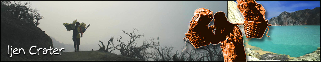
The sulphur, we learned, is transported entirely on foot. In the past, horses were used but they were found to be less practical on the hazardous terrain. Today, the mine yields nine to twelve tons of sulphur per day. Individual loads of up to 70 kgs are carried by men, often barefooted, up to the rim of the crater and then 17 km down the mountainside to a factory near Banyuwangi. The porters are paid by weight. After arrival at the factory, the sulphur is treated before being used in the production of medicines and as an important element in the processing of sugar.