
Tourism Destinatons
About Sumenep Regency
Sumenep regency is situated between 113°32'54"- 116°16'48" east longitude and 4°35'-7°24' south lotitude with the boundaries as follows :
- On the north :bordered by the Java Sea
- On the east : bordered by florest sea
- On the south : bordered by madura straits
- On the west : bordered by the Pamekasan Regency
Geographically, the region / territory of Sumenep Regency is divided into two areas, they are: The land area is 1.147,24 square kilometers (57,40%), consist of 17 sub districts region and the archipelago region with the area of 851,30 square kilometers (42,60 %) covering 76 islands (inhabited and uninhabited) spread in the sea area as long as about 50.000,- square kilometers consisting of 8 (eight) Archipelago sub-district of regions.
How To Reach Sumenep
Sumenep is listed in the eastern end of Madura Island. It
is about 170 km from Tanjung Perak Port. One may reach Sumenep
by bus from Purabaya Bus Station or takes the bus in Tanjung
Perak Port. Sumenep can also be reached from Bali by passing
throw Banyuwangi to Jangkar Port in Situbondo regency and
the crossing by Very from Jangkar Port to Kalianget, one
of the sub-district in Sumenep. It just needs four hours
to cross.
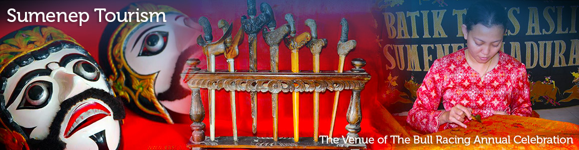
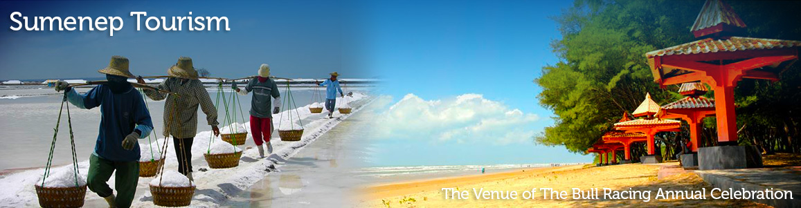
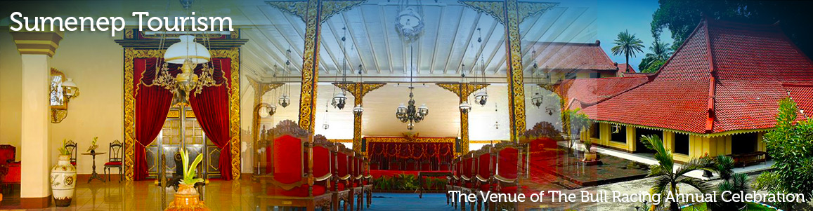
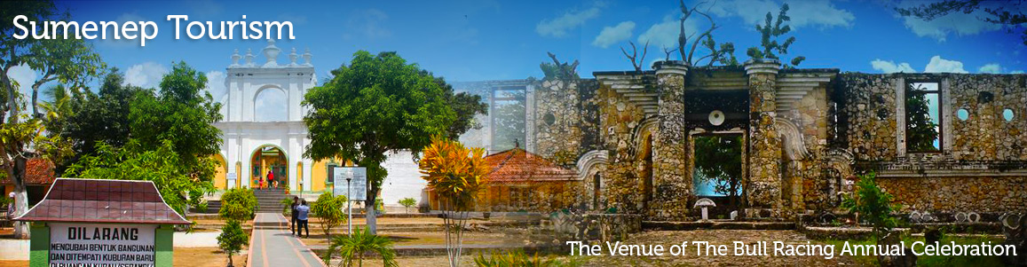
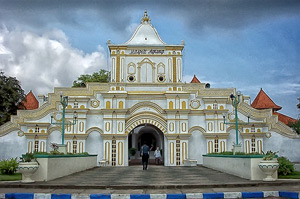
Sumenep is a potential area for developing tourism objects.
Besides historical places like Kraton and Tiny Museum, Traditional
Art and Cultural Attractions as Mowangsangkal Dance and
Bull Race, it also has beautiful beaches like Lombang beach
and Slopeng Beach.

The Most Beautiful Islands in Sumenep Madura, Its Enchantment Spoils the Eyes
Not inferior to other cities in East Java, Madura Island also has interesting natural beauty. Each region has its own charm, Sumenep is no exception. In addition to its delicious culinary, Sumenep also has beautiful islands. Some islands even still have few visitors. Curious where is it? Check out this list of the most beautiful islands in Sumenep, Madura, East Java! White sand and clear water, Gili Labak is one of the favorite destinations for tourists. Every corner of this island feels Instagrammable. Gili Labak or Gili Lawak, is one…
Sapangkor Besar Island
Sapangkor Besar Island Sapangkor Besar island is one of islands in Kangean archipelago. It administratively located in Sumenep regency, Madura, East Java, and lies between Sapangkor Kecil in the west, Saur island in the east, Paliat island in south and Bali island in north. Sapangkor Besar is such a rich and fertile island, which all of the nature sources are available like agriculture, plantation, salt works, forest, and fisheries. The nearest island to this Sepangkor Besar is Sepangkor Kecil, and we can cross by using small boat or even by…
Mamburit Island, Madura
Mamburit Island Mamburit island is one of islands in Kangean archipelago and it administratively located in Sumenep regency, Madura, East Java. Mamburit Island is located on the western side of Kangean island and it lies for about 500 M and an approximately length of 1,000 M for which on the north coast is having 1 km in length. There is a lighthouse in the island, and it can be reach during the sunset to see a dramatic nuance of the twilight. The island has a population of approximately 1,000 people,…
Pagerungan Besar Island – Madura
Pagerungan Besar Pagerungan beasar is one of the islands in Kangean islands group. The island is located at the east of Pagerungan Kecil island. Administratively, the island is located in the Sumenep, East Java, Indonesia. Pagerungan Besar Island is such a remote island that located within 60 Miles of Bali island. From the historical records, Pagerungan island had been invented and populated since the early 1910s. But now the island has been etched in the history of oil in Indonesia as a natural gas-producing region. Until now many oil companies…